
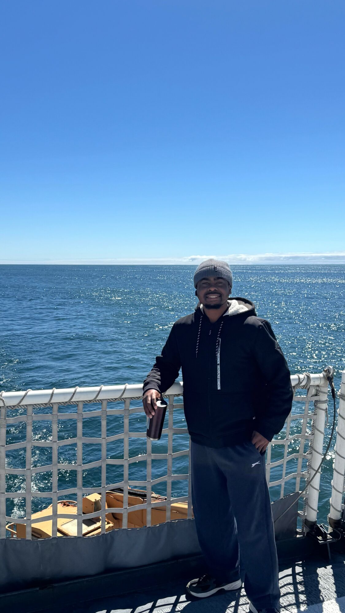
Today we’d like to introduce you to Andy Egogo-Stanley.
Hi Andy, we’re thrilled to have a chance to learn your story today. So, before we get into specifics, maybe you can briefly walk us through how you got to where you are today?
My story starts in a middle-class Nigerian household, where my parents made sacrifices to get me through school. It is one of determination for excellence and resilience. My dad was a land surveyor, so naturally, I followed in his footsteps.
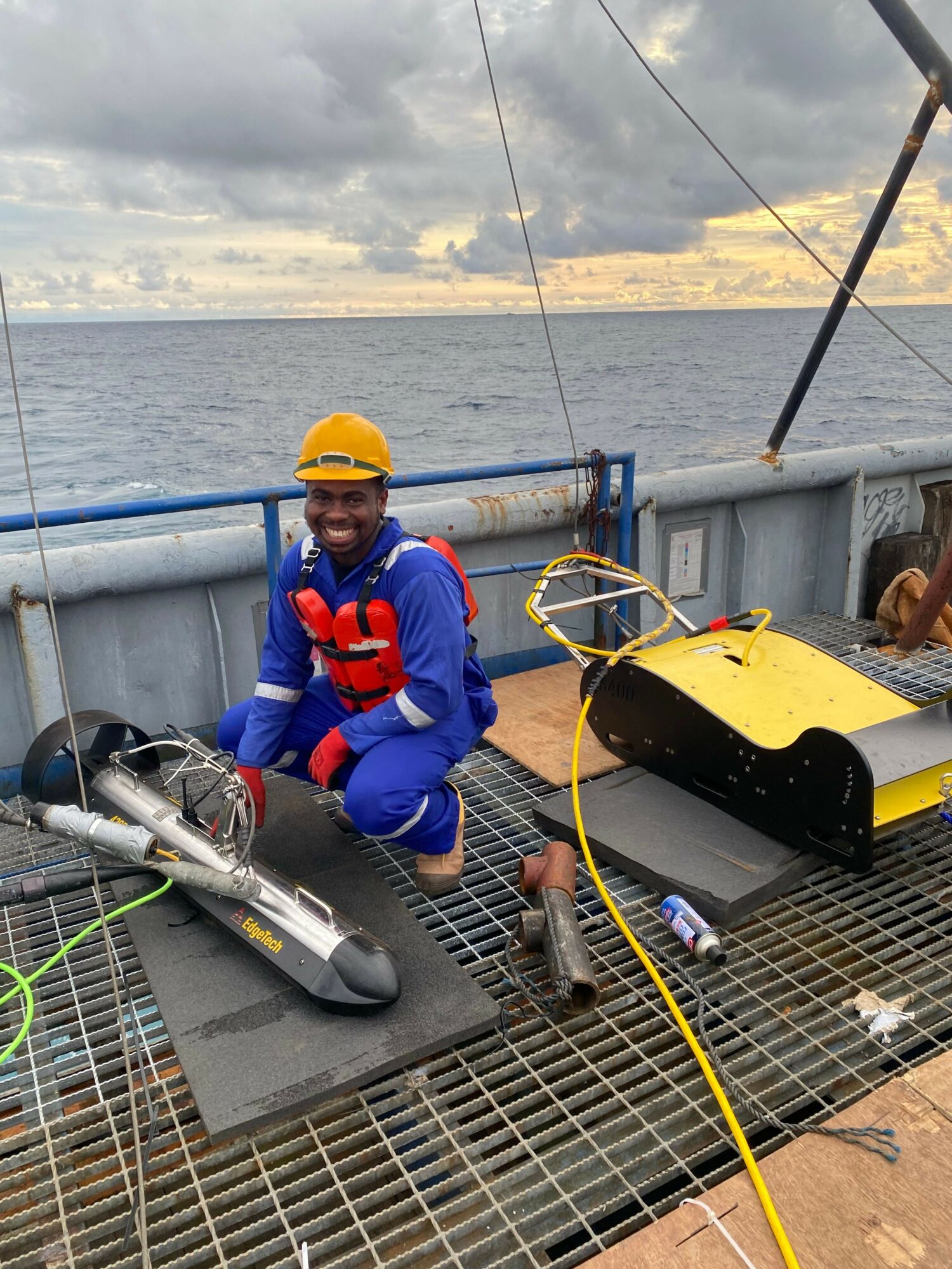
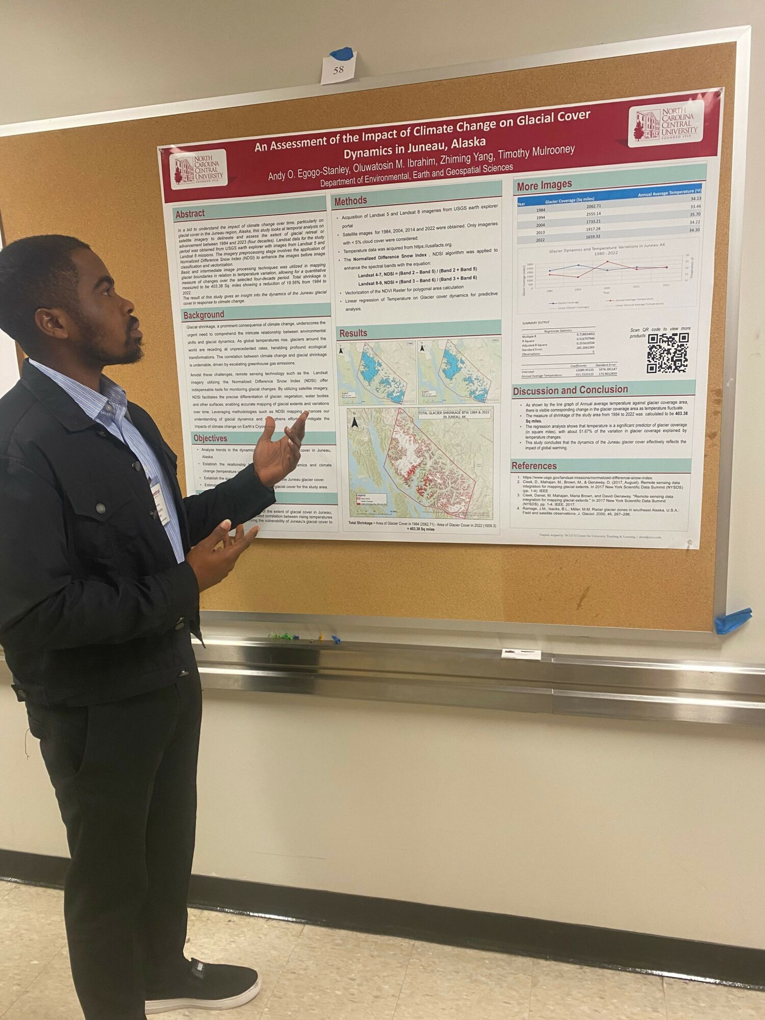
Along the way, my path branched further than I expected. In my undergrad, I competed in international map-making competitions, joined research groups, co-authored papers, and presented at conferences on geospatial technology’s role in societal development. That curiosity led me into early field experience as a geoscientist, doing hydrographic and geophysical survey work in the oil and gas industry off the coast of West Africa.
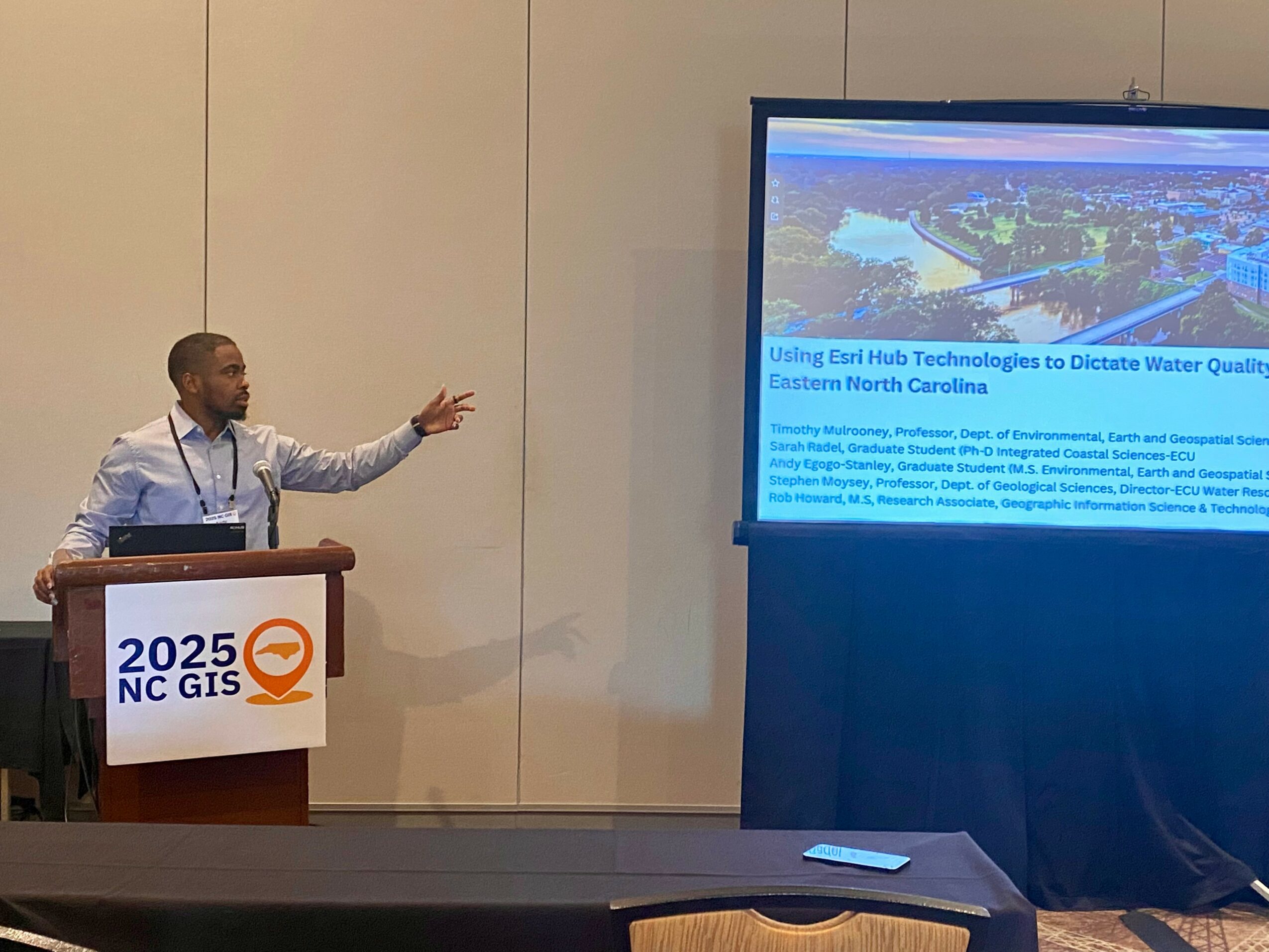
That experience pulled me to the United States for a Master’s in Environmental, Earth and Geospatial Sciences at North Carolina Central University, where I joined the Coastline and People (CoPe) project as a graduate research assistant. We worked with communities across eastern North Carolina to understand water-related climate risk, pulling together environmental, social, and economic data to understand how a watershed like the Tar-Pamlico actually functions and how the people living in it make decisions. I helped build the Esri data hub that held it all together, developed tools, and trained community members and student interns to use the platform themselves.
That work is really where my path to hydrography took shape. I kept noticing that every map, every dashboard, every community decision it supported was only as good as the data underneath it. If the data feeding the geospatial systems was wrong, sparse, or slow to arrive, the tools I was building couldn’t help anyone. That pushed me to move further upstream, past the dashboards and into the part of the pipeline where the actual physical measurements of water and seafloor get collected in the first place.
That is what brought me to my current doctoral program in Marine Science, concentrating in Hydrography, at the University of Southern Mississippi, working with Dr. Anand Hiroji at the Stennis Space Center. I go out on research cruises now, mapping and characterizing the seafloor using sonar technology and other emerging techniques. My research focuses on hydrographic data processing and automating the workflows behind it; shrinking the gap between the moment a sonar ping hits the seafloor and the moment that data becomes something trustworthy enough for a mariner, a coastal planner, or a researcher to actually use.
Can you talk to us a bit about the challenges and lessons you’ve learned along the way. Looking back would you say it’s been easy or smooth in retrospect?
Not at all smooth, and I would not want it to have been. The first real jolt was moving from fieldwork into data science and automation, where the problems are invisible until they are not, and then finding my way back to working across both. I remember spending far longer than expected teaching myself to write reliable code, and debugging silent failures.
There was also the adjustment of moving countries and academic systems at the same time. Coming from Lagos into a U.S. graduate program meant relearning how research, funding, and everyday academic culture worked, all while still being expected to deliver for a community-facing project on a real timeline.
Working with communities directly adds its own kind of pressure that a purely technical project does not have. When you are building a tool for residents in Princeville or Nags Head, good enough for a paper is not good enough. It has to work for someone with no GIS background, standing at a computer, trying to understand what is happening to the water near their home. That raised the bar on everything I built, and it has made me a more careful engineer and researcher since.
As you know, we’re big fans of you and your work. For our readers who might not be as familiar what can you tell them about what you do?
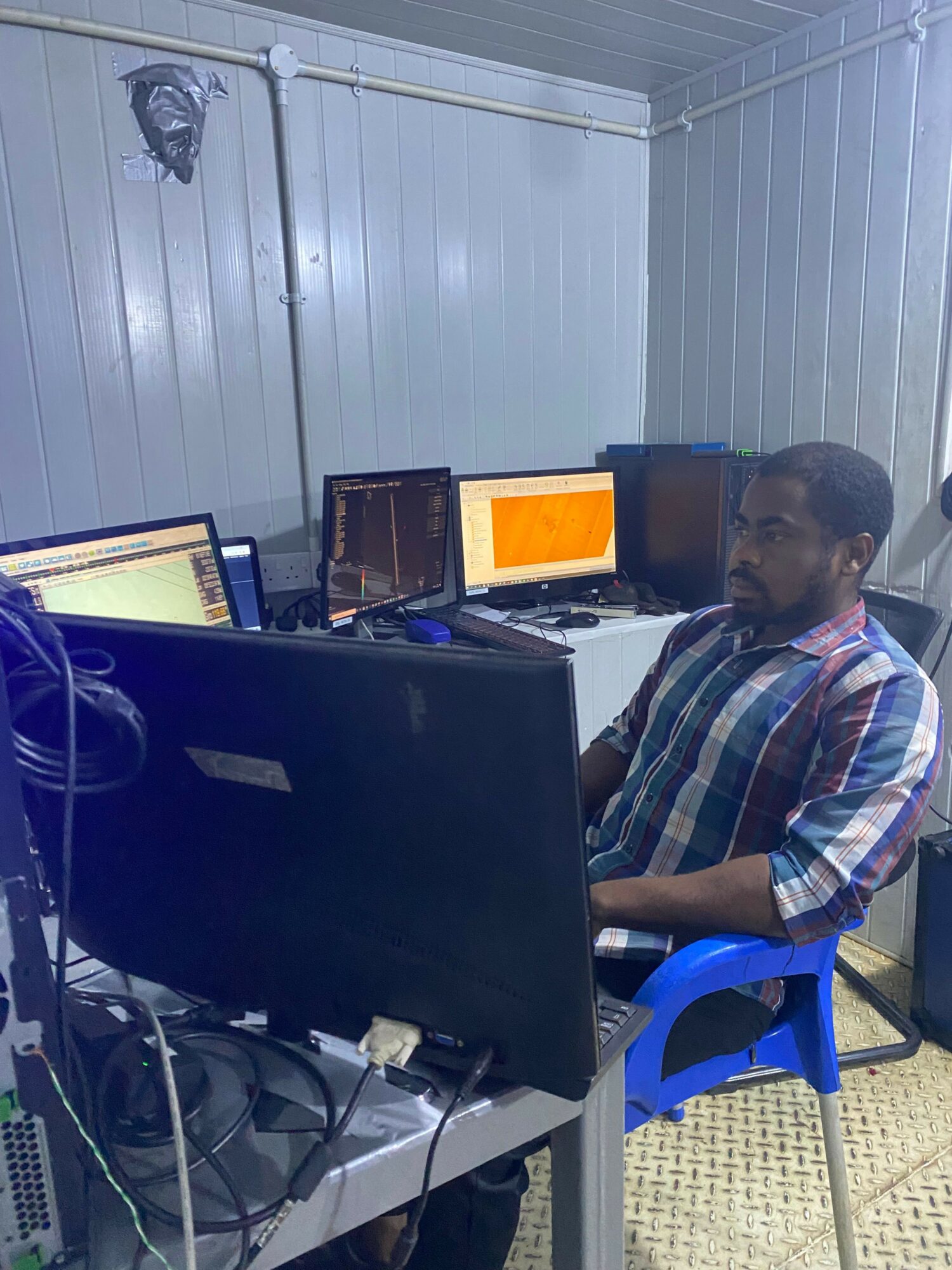
At the core, I am a geospatial scientist and hydrographer working where field data collection meets the software that makes that data usable. My current research is in hydrographic data processing and presentation, developing tools that simplify and improve multibeam bathymetry, backscatter processing, and seafloor characterization. The goal is building automated workflows that efficiently turn raw sonar signals into something a decision-maker can access right away. This has tremendous applications in maritime safety, resource discovery and recovery, and broader efforts that could potentially support national security and defense.
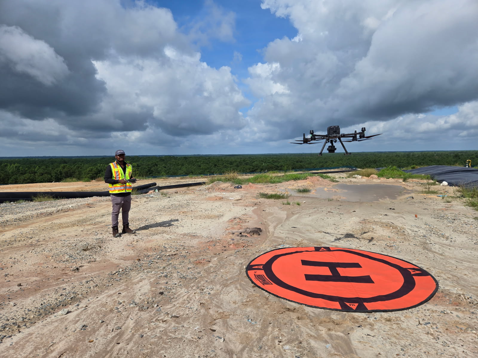
I am known for bridging both sides. I have run surveys on the boat, and I have written the Python that makes sense of what the boat collected, which is rarer than it sounds. My background also spans the wider geomatics field: I am a certified drone pilot, and land surveyor with extensive experience in both academic research and industry.
What I am most proud of is the throughline, from building a community water-quality tool for non-specialists in eastern North Carolina, to now building hydrographic workflows for mariners, coastal planners, and researchers at a much larger scale. The audience changed, but the goal did not: make the data reliable and ready-for-use.
What sets me apart is that I never let the fieldwork and the software specialize away from each other. Most people pick a lane. I have stayed fluent in both.
Who else deserves credit in your story?
Honestly, more people than I could possibly name here. It starts with my family, who backed a path that was not always obvious or guaranteed to pay off. From there, it is every professor and mentor who took the time to explain something twice, every research group that let me in before I had much to offer yet, and every coauthor who trusted a shared byline with me. My doctoral advisor deserves real credit too, for taking a chance on me and believing in what I could bring to the work.
None of this happens as a solo act. It is a long chain of people who decided to invest a little bit of belief in me before there was much proof to justify it.
Contact Info:
- LinkedIn: https://www.linkedin.com/in/andy-egogo-stanley/
- Other: https://www.researchgate.net/profile/Andy-Egogo-Stanley